A helping hand for soil and pollinators
Seeds to plant alongside potatoes can lend a helping hand with crops, as well as bringing environmental benefits.

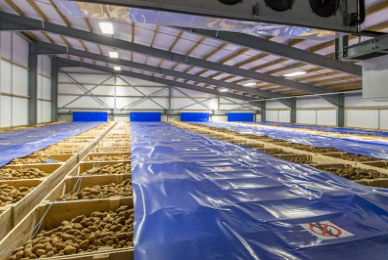
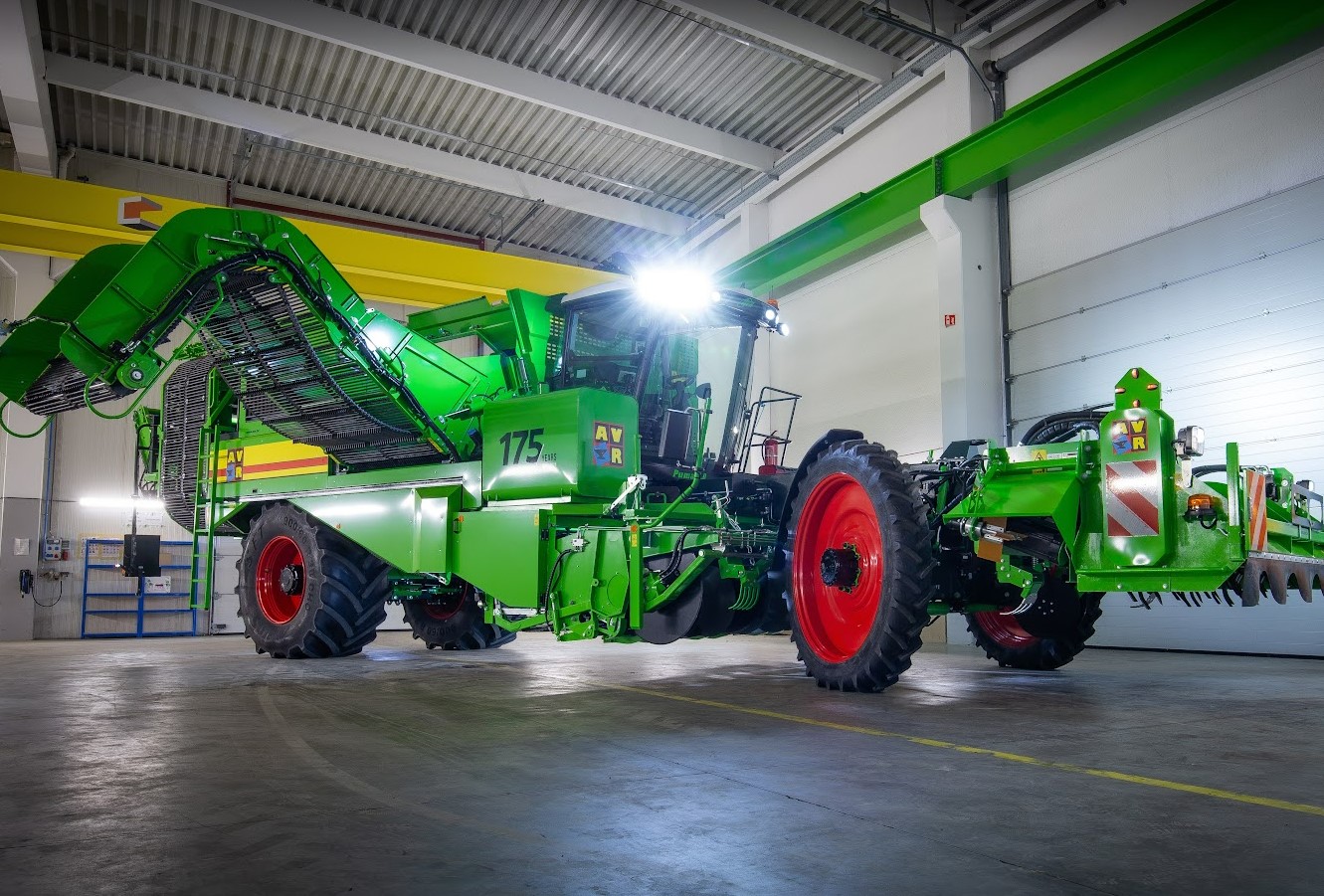
British Potato Review magazine reports on new developments in all areas of crop production, storage, handling and packing, as well as scientific, technological and machinery innovations in the UK and overseas. We also keep readers abreast of consumer trends and legislation changes impacting on the industry. Potato Review has been serving all sectors of the potato industry since 1991. Its subscribers include everyone in the UK potato supply chain as well as overseas subscribers in more than 50 countries.
The British Potato Industry Event and British Potato Industry Awards take place every other year, providing a showcase for new innovations and talent in the industry.